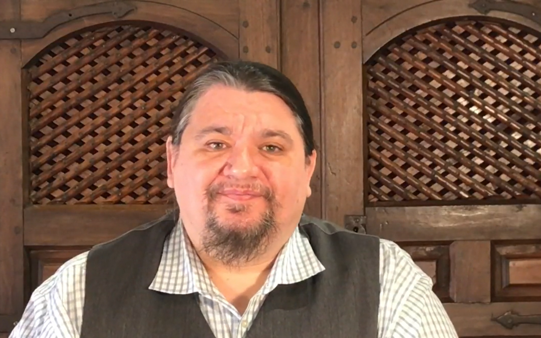
I love maps. I have a great interest in Indigenous cartographies, as well as the numerous kinds of ethnographic information we might find in early colonial maps, [and] today I’ll be discussing a trend of ethnographic mapping in the nineteenth and twentieth centuries. These maps were created to show the original homelands, languages, and culture elements of Indigenous peoples inhabiting the lands that are now the United States. . . . They offer the reader an immediate sense of the linguistic and political diversity of the North American continent at the time of European arrival. . . . These maps are not only a model of the past, they also provide map readers with an alternative geography of North America, one that they’re probably not very used to. A Native-focused alternative geography offers readers a model for reclaiming and imagining a decolonized future.
—Robert Caldwell
“However,” argues 2020 Lamon fellow Robert Caldwell, “the resulting maps ultimately served to reduce a rich tapestry of Indigenous knowledge to schematized generalizations about American Indian cultures. They also conveyed the numerous cultural biases of their creators. . . . In the worst instances, these maps reinforce the idea that American Indians are consigned to a static past, but one without our own dynamic history.”
Join us on October 21 at 2 p.m. (MDT) to hear Caldwell discuss “Indians in Their Proper Place: Culture Areas, Linguistic Stocks, and the Genealogy of a Map.” He is an assistant professor in the School of Arts and Sciences at SOWELA Technical Community College and will be speaking as part of our fall Scholar Colloquia series. This online event is free and open to the public.
Register now to learn more about the relationship between Indigenous cartographies and ethnographic mapping, and watch a preview of the talk below:
