New Geospatial Approaches in Anthropology
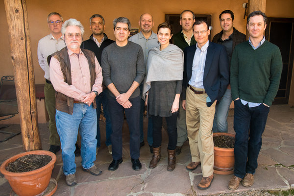
Co-chaired by Robert L. Anemone and Glenn Conroy.
March 6–10, 2016
New Geospatial Approaches in Anthropology
Anthropologists have been investigating spatial patterns in many different kinds of datasets using the tools of geospatial analysis. Examples of such analysis include, but are not limited to, the distribution of sites across landscapes and regions, differences in the position of osteological or dental markers within skeletons, and geographic variation in environmental stressors. Considering new hardware, software, and large data sets that are now available, anthropologists are on the verge of a paradigm shift in how they understand the spatial nature of their data. This seminar brought together a diverse group of anthropologists and remote sensing specialists—including primatologists, paleoanthropologists, behavioral ecologists, cultural geographers, and archaeologists—who are working at the cutting edge of geospatial data collection and analysis to explore tools, techniques, and approaches that can be used in geospatial analysis of these, and related, anthropological subfields.
Using technology such as Geographic Information Systems (GIS), three-dimensional modeling, satellite imagery, fixed-wing aircraft, drones, and remote sensing data, seminarians explored subjects such as:
- Using aerial imaging to identify likely dig sites located in areas over several square miles;
- Creating three-dimensional models of fossil-bearing outcrops and to use these models to better understand the nature and distribution of fossil localities;
- The use of fixed wing UAVs to collect very high-resolution photo-mosaics of the Sumatran orangutan forest habitat, including logged and reforested areas, and oil-palm plantations; and
- Modeling the development and use of hydraulic technology and the social management of these resources in the developing Wari Empire of Peru.
”The goal of our SAR Advanced Seminar,” wrote co-chairs Robert Anemone and Glenn Conroy, “was to explore the many new and exciting ways that anthropological researchers are utilizing advances in Remote Sensing and the Geographic Information Sciences to explore the geospatial nature of a wide variety of anthropological data.” They continued, “Our experience at SAR has revealed to us the power of this kind of collaborative integration between the anthropological subdisciplines and the geospatial sciences, and suggests the enormous potential that sophisticated geospatial analyses have for informing and enriching anthropological inquiry in the present and future.”
More information about the resulting volume published by UNM/SAR Press is available here.
Robert L. Anemone, Chair
Professor and Department Head, Department of Anthropology, University of North Carolina at Greensboro
Glenn Conroy, Chair
Professor, Departments of Anatomy and Neurobiology, Washington University
Charles W. Emerson
Professor, Department of Geography, Western Michigan University
Michael Frachetti
Associate Professor, Department of Anthropology, Washington University
Leslea J. Hlusko
Associate Professor, Department of Integrative Biology, University of California, Berkeley
Denne N. Reed
Associate Professor, Department of Anthropology, University of Texas at Austin
Pete S. Ungar
Distinguished Professor and Chair, Department of Anthropology, University of Arkansas
Benjamin Vining
Postdoctoral Associate, Department of Archaeology, Boston University
Serge A. Wich
Professor, School of Natural Sciences and Psychology, Liverpool John Moores University
Ryan Williams
Associate Curator, Department of Anthropology, The Field Museum
Generous support provided by the Annenberg Conversations Endowment